X Close Categories
BCategories
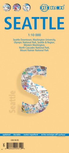
Our folded street and travel map of Seattle includes sights, museums, theatres, monuments, religious sites, shopping malls, parking, restaurants, beaches, camping sites, hotels, and markets. The colored map includes insets of Washington University, Olympic National Park, Seattle and Region, North Cascades National Park, Mount Rainier National Park, and Western Washington and Top 30 Sights. Climate charts show the average daily temperatures, humidity, hours of sunshine and precipitation for each month. These Borch maps are durable, water-repellent and feature a laminated write-on/wipe off surface and measure approximately 9.5"x4.5" when folded up and unfolds into a flat double-sided map measuring 34"x19.25".
Shipping:
Calculated at checkout


